🔥 New Satellite System to Monitor Wildfires in Portugal
Portugal is stepping up its fight against wildfires with the help of cutting-edge satellite technology.
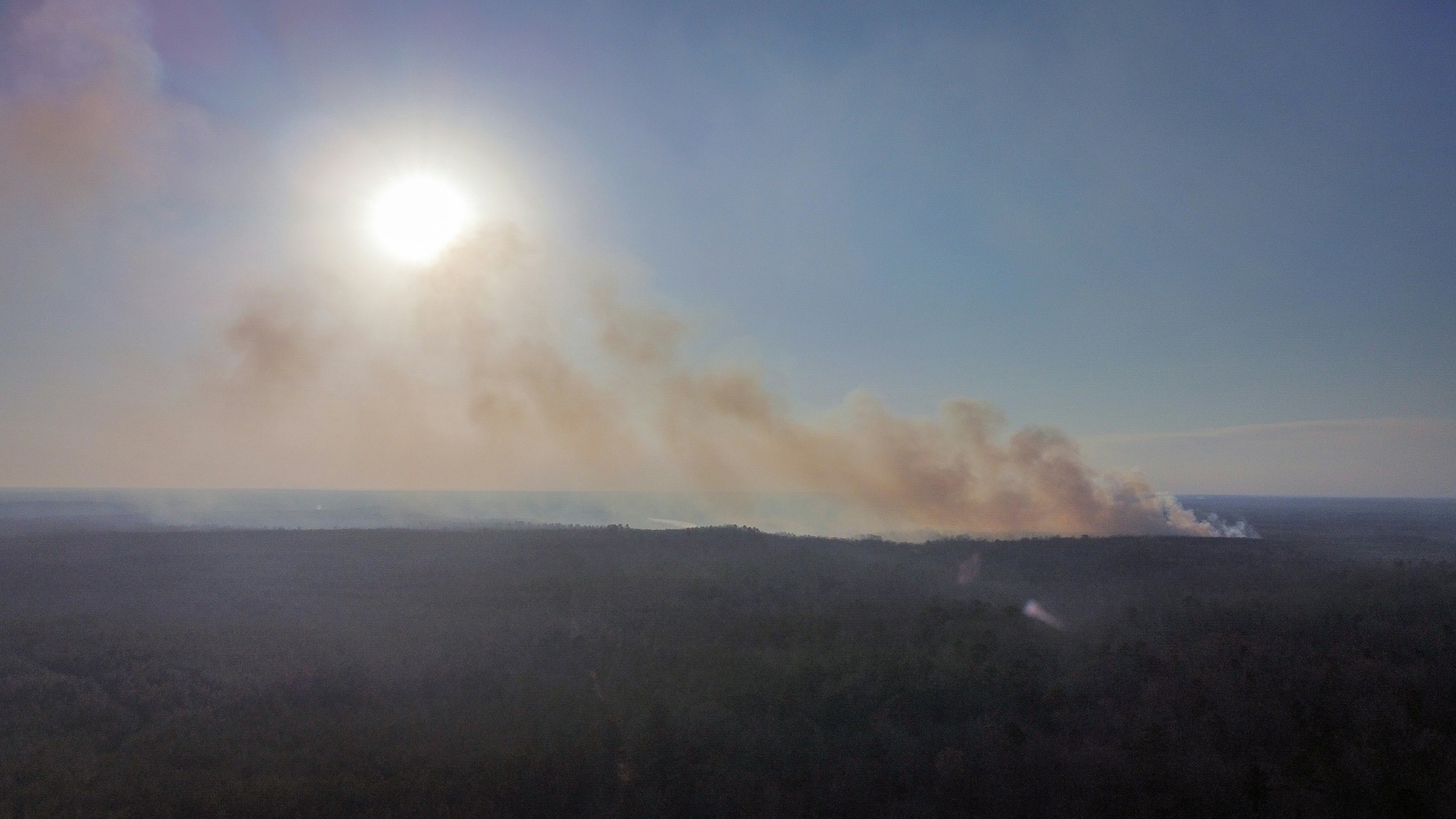
A new initiative, supported by the European Space Agency (ESA), will use space-based data to monitor fire risks, track active fires, and improve response times across the country.
🚀 What’s happening?
The project is being developed under ESA’s InCubed programme, in partnership with EOS Data Analytics (EOSDA) [1].
The goal is simple:
- detect wildfires earlier
- monitor how they spread
- help authorities respond faster and more effectively
This is especially important in Portugal, where hot, dry summers make rural regions—like parts of Beira Baixa—particularly vulnerable.
🛰️ How does it work?
The system uses data from the EU’s Copernicus Programme [2], including satellites like:
- Sentinel-2 – captures high-resolution images of land
- Sentinel-3 – detects heat and thermal anomalies
By combining this data with advanced analytics, the platform can:
- spot early signs of fire risk
- detect active fire hotspots
- track how fires evolve over time
ESA’s InCubed programme supports projects like this [3].
🌍 Can the public see this data?
The EOSDA platform itself isn’t currently public, but similar satellite data is freely available online.
Here are a few tools you can use to monitor wildfire activity:
🔎 Copernicus Emergency Management Service
Official wildfire maps used by authorities [4].
🔥 NASA FIRMS (Live Fire Map)
A real-time global fire tracking system [5].
🌲 EFFIS (European Forest Fire Information System)
Fire risk levels, historical data, and burnt area reports [6].
🌿 Why this matters for our region
Wildfires are a real concern across central Portugal, particularly in rural and forested areas.
According to Portuguese reporting, satellite monitoring is already being used in regions like Coimbra [7].
Projects like this could:
- improve early warning systems
- reduce damage to land and wildlife
- help protect local communities and farms
📌 The bigger picture
This initiative is part of a growing trend: using space technology to solve real-world problems.